Compasses, maps and our local area
26 Nov 2021
This week, we have started our geography unit which is based around ordnance survey maps, compasses and grid references.
We began by looking at how compasses work, and the points on them. There were some very interesting rhymes made up to help us remember the order of north, east, south and west. The children then played some games in twos, where the had to direct their friend in a particular direction for a number of right angles and see if their partner knew which direction they ended up in.
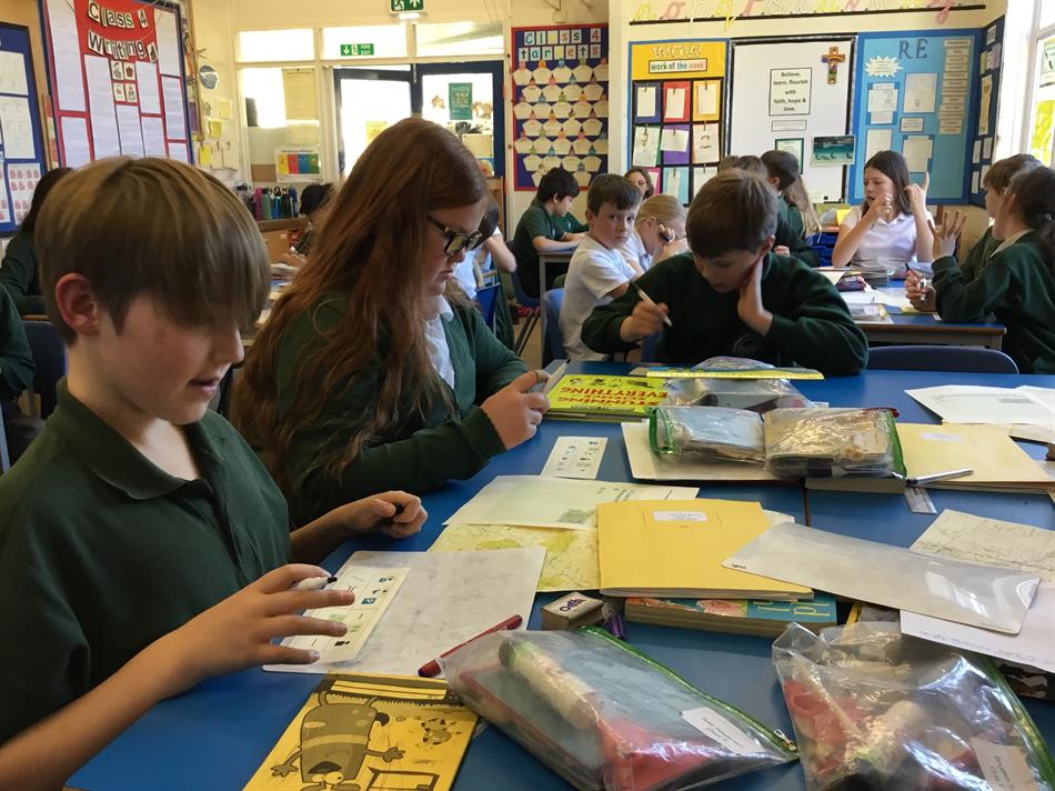
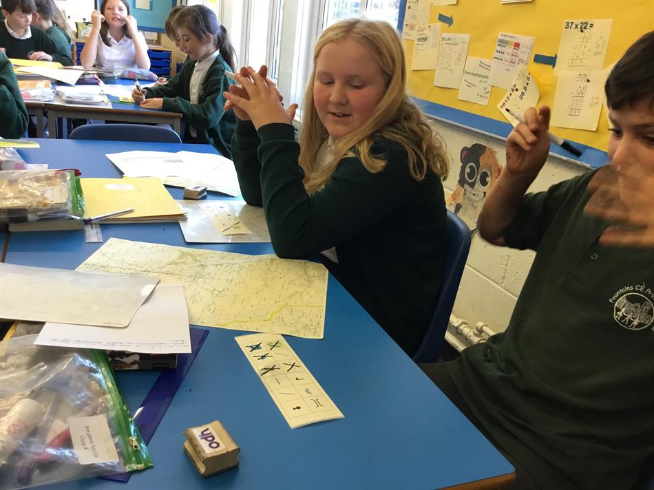
We started to look at ordnance survey maps and the symbols that are used on them. The children did some research, and then after we all played bingo using the symbols to test their knowledge.
 «»
«»
We went on to focus on grid references, and eastings and northings. We used these and Ordnance survey maps to find the grid references for places in our local area. These included our school and Benjamin's house! The children set each other challenges of places to find the grid references for. Lastly, we took notice of whether these features were human or physical and discussed both.